in 8h 59m
Blocked grey lid
Photo locations · Hawke’s Bay · New Zealand
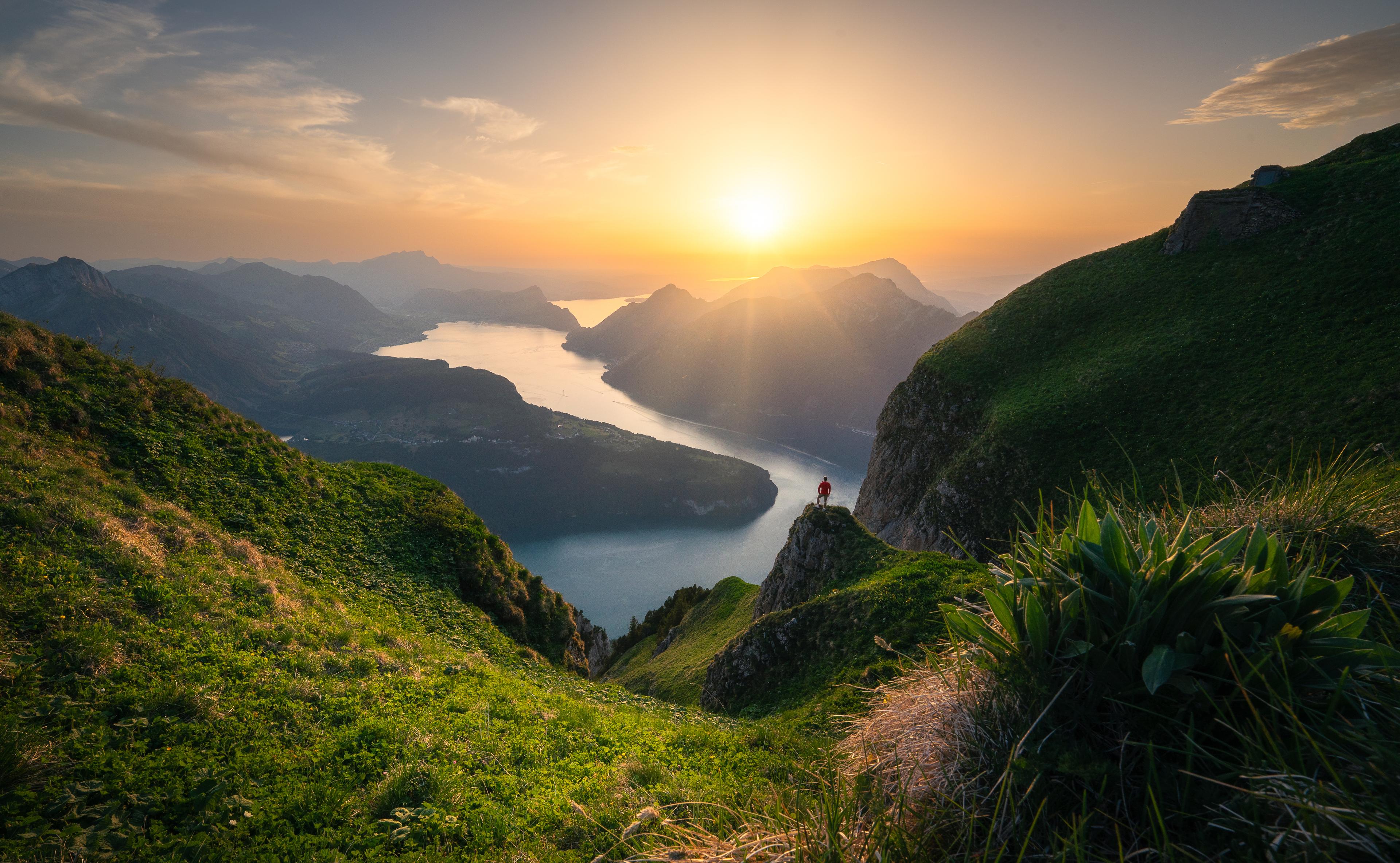
Te Mata Peak opens across the Heretaunga Plains toward Hawke’s Bay, with ridges and farmland making natural layers in low light. Both sunrise and sunset work; the wind usually decides which side of the summit is comfortable.
Simplified forecast from the open model run. The full forecast — a second model, your exact viewpoint, the hourly cloud timeline — is in the app.
Global model, about 13 km: less certain than in Europe.
Sky colors
Why: Cloud covers every point we sampled, so no direct light gets through.
Terrain is drawn for illustration only — it is not used to calculate underlight or obstruction.
Forecast refreshed a few hours before sunset.
Simplified forecast from the open model run. The full forecast — a second model, your exact viewpoint, the hourly cloud timeline — is in the app.
Global model, about 13 km: less certain than in Europe.
Sky colors
Why: Cloud covers every point we sampled, so no direct light gets through.
Terrain is drawn for illustration only — it is not used to calculate underlight or obstruction.
Forecast refreshed a few hours before sunset.
Simplified forecast from the open model run. The full forecast — a second model, your exact viewpoint, the hourly cloud timeline — is in the app.
Global model, about 13 km: less certain than in Europe.
Recommended arrival
Outlook only · 57 h ahead
Sky colors
Why: Some cloud sits along the sun's path, so light may get through only in places.
Terrain is drawn for illustration only — it is not used to calculate underlight or obstruction.
Forecast refreshed a few hours before sunset.
€3.33 /month
Billed annually — €39.99
Try 14 days freeCard required, nothing charged for 14 days. Cancel any time in the trial and you pay nothing at all. EU/EEA consumers: see the right-of-withdrawal section in our Terms.
March to May for warm autumn colour and calmer light; September to November for green hills. Summer can be dry and hazy.
16–35 mm for ridge foregrounds; 70–200 mm for folded hills, farms and distant coast.
Step away from the summit marker and use the walking ridges as lead-ins. Longer lenses are excellent when bands of light move over the plains.
Arrive 45–60 minutes before sunrise or sunset and scout a position sheltered from the prevailing wind.
Summit-road access can close for weather, events or maintenance. Check the park notice and keep clear of mountain-bike trails.
Parking: Small summit and lower-park car parks; use the lower option if the summit road is closed.
Approach: Immediate from the summit car park, or a longer signed walk from lower entrances.